Search Results
80 results found with an empty search
- Pro Series - John Deere 470G SmartGrade Excavator - Virtual Warnings
Matt Weiland, one of John Deere's Precision Construction Instructors, walks us through setting up a virtual swing warning on a 470G SmartGrade Excavator. Learn how to quickly set up and use a virtual limit warning to avoid swinging into traffic or other obstacles. Like what you see here? Subscribe to our YouTube channel to stay in the loop on the latest in 3D GPS machine control technology.
- Pro Series - John Deere 470G SmartGrade Excavator - Key Settings
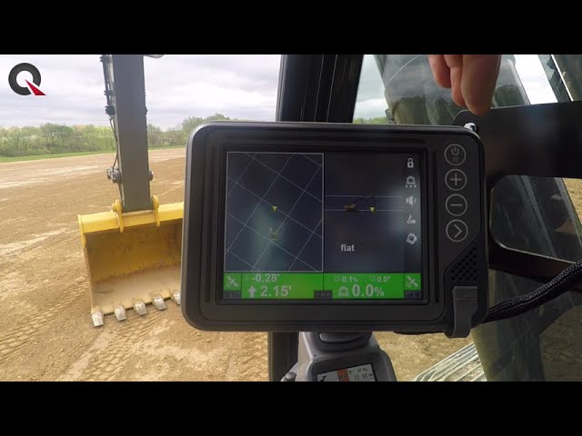
We are in the cab as Matt Weiland, one of John Deere's Precision Construction Instructors, walks us through important settings on a 470G SmartGrade Excavator. Learn how to navigate the system, adjust arm speed, check your machine against a rover and change what you see on the screen, among other important settings. Like what you see here? Subscribe to our YouTube channel to stay in the loop on the latest in 3D GPS machine control technology.
- Pro Series - John Deere 470G SmartGrade Excavator - Automatic Control
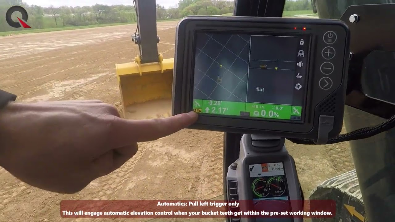
We are in the cab as Matt Weiland, one of John Deere's Precision Construction Instructors, teaches us how to initiate automatic control on a 470G SmartGrade excavator. Learn how to easily turn on standard automatics, bucket automatics and grade protect. Like what you see here? Subscribe to our YouTube channel to stay in the loop on the latest in 3D GPS machine control technology.
- World of Concrete 2022
Quantum Land Design is proud to announce we will have a booth at the World of Concrete 2022. The show runs January 18-20 at the Las Vegas Convention Center. We will be in the North Hall booth N2566 in the Technology for Construction area. Stop by anytime, we would be happy to meet and talk paving technology. Like to save a few bucks on your registration? Use this link to register you and your crew. It's good through December 13th. Shoot us an email if you would like to schedule a meeting while you are in Las Vegas, sales@avqld.com.
- GPS Site Control - Keep it Level
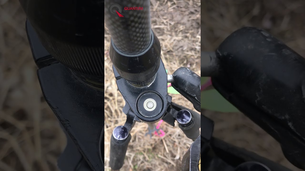
It seems simple but, too often, machine control basics like keeping the rover level and stable are overlooked when calibrating GPS to a construction site.
- Pro Series - John Deere 750L SmartGrade - 2D Basics
We are in the cab as Matt Weiland, one of John Deere's Precision Construction Instructors, walks us through the basic functionality of the 2D Smart Grade system. Learn how to navigate the system and set up your mainfall and crossfall slope to grade the site exactly how you want. Even learn a quick trick to reverse the slope to allow you to match the same grade will running the opposite direction. Like what you see here? Subscribe to our YouTube channel to stay in the loop on the latest in 3D GPS machine control technology.
- Pro-Level GPS Machine Control Tips Every Contractor Should Know
At Quantum, our goal is to help you squeeze every ounce of value from your GPS machine control system. To help you do that, we tapped industry friends at Komatsu, Caterpillar, Case Construction, and John Deere, gathering their construction‑technology insights earned on earthmoving projects around the globe. Our experts’ experiences were all similar and boiled down to four key suggestions: 1. Learn the Machine Control Basics 2. Invest in Training 3. Use High Quality 3D Data 4. Appoint an In-House GPS Champion Sounds easy, right? Yet field crews still struggle…otherwise these four tips wouldn’t fix so many jobsite headaches. Let’s unpack each one and see how it can streamline your GPS setup, boost on‑site grading efficiency, and eliminate a few nagging problems. 1. Learn the Machine Control Basics Start with Rock‑Solid GPS Calibration Every manufacturer hammered this point: you must know how to set up and check your GPS system on every site. Start with solid GPS calibration—configure and calibrate the base/rover to project control (our blog series walks you through it). If a custom job needs single‑point control, we have another guide for that. Run Routine Machine Checks to Avoid Downtime Once the base station setup is broadcasting and the rover’s accuracy is confirmed, move on to the machines. Use the rover to verify the blade or bucket reads grade; if it’s off, adjust for cutting‑edge wear or dive into the system’s built‑in machine‑control diagnostics to ensure every sensor is talking. Even a simple check, like using a bubble level to check slope sensor readings takes little time but quickly pays off if you find an error. Can’t link to the base? Switch the radio channel or fix a radio antenna damaged by an overhanging branch. These checks sound basic, but skipping them—or the fundamentals behind them—can snowball into costly downtime on the jobsite. 2. Invest in Training Cover Operator Fundamentals First Too often, technology training tops out with the dealer helping you localize that first project and offering a quick, hands‑on demo of basic rover or machine controls. Whether the culprit is budget or time, that’s all many clients ever receive. Such abbreviated operator training breeds frustration and leaves costly GPS machine control technology sitting idle on the jobsite every day. Our counterparts at Deere, Komatsu, Cat, and Case agree: solid machine‑control training is the keystone of successful tech integration for any crew. They regularly work with operators that misunderstand what the monitor is telling them or how to adjust the system to their needs. Functions like tweaking offsets for concrete/rock thickness or confirming where the blade or bucket is tracking grade must be fully understood by every GPS operator. Unlock Advanced Features and Operator Friendly Settings Once those basics click, higher‑level skills like steering to linework, building custom surfaces, or even adjusting linework colors (a big deal for color‑blind operators) come fast and reveal the full potential of your GPS machine control setup. Utilize Automatic Grade Control How to properly use automatic grade control is still misunderstood by many operators. Picture an operator trimming subgrade along a curb: the blade suddenly rides up because the system is reading from the corner of the cutting edge. To avoid that, crews must understand exactly how the cutting edge tracks the ground and know where the system is reading grade. When a blade hops a curb or skips across a v‑ditch, the operator should recognize the cause and tweak settings or technique so the work stays on spec. The latest excavator platforms add their own twists, with multiple ways to set up and run semi‑automatic features. Without solid training, your crew can’t squeeze the full efficiency out of your GPS machine‑control systems. 3. Use High‑Quality 3D Data Spot Hidden Model Errors Before They Cost You Every manufacturer we talked to agreed on one thing: poor‑quality 3D grading models and sloppy linework consistently drag down machine‑control performance. A bad model won’t hit grade and can even freeze the system, forcing a restart. Those “free” downloads almost never meet expectations. 3D machine‑control models leave no room for guesswork—they either align with the engineer’s plans or they don’t. A small cross‑slope error, say 2 % instead of 1.5 %, can slip by during grading, but when the paving crew spots it you’re looking at costly grading rework. Equally painful are “bad spots” in the file: sudden dips or spikes that make the blade dig in or pop up. Most of these headaches trace back to loose quality control or trusting an unvetted “free” 3D download. Build or Buy: Choosing the Right Modeling Workflow Fixing the issue means either partnering with a trusted 3D modeling company (we’re partial to this one) or investing in the people, software, and training to build an in‑house 3D modeling capability. Remember: your finished grade is only as accurate as the digital terrain model you feed the machine. 4. Appoint an In‑House GPS Champion Role, Time Commitment, and Early Challenges The most successful contractors assign a GPS Champion—an employee who dives into the new tech, trains co‑workers, and motivates them through the learning curve. Your GPS Champion is the first call for advice and machine‑control troubleshooting, the person operators and grade checkers trust to keep the jobsite productive with the latest GPS machine‑control technology. Some companies lean on their GPS vendor to play this role. That might get you through the first project or two, but the vendor isn’t around for the day‑to‑day jobsite questions that surface after the initial training. Your in‑house GPS Champion fills that gap, fielding quick jobsite questions and verifying grade accuracy. It’s a big lift at first and can eat up a lot of hours on the early machine‑control projects, but as the crew gets comfortable the demand on the Champion eases, freeing them for other work. Traits to Look For When Picking Your Champion Who should you tap as your GPS Champion? Hint: it’s probably not your best foreman or the company owner—people buried in project‑management duties rarely have time to shepherd the crew through the machine‑control learning curve. Instead, look for an ambitious employee with a curious mind and the patience to coach coworkers who aren’t yet sold on the tech. The right person for the Champion role might surface in an unexpected spot, so keep an open mind as you search for the person/teacher who can drive successful construction‑technology adoption in your company. Make GPS Machine Control the Backbone of Your Grading Operation Boiling decades of Caterpillar, John Deere, Case, and Komatsu wisdom down to four pointers may sound too simple, but every earthmoving contractor hits the same technology growing pains. Lean into these steps—learn the basics, get solid training, work with dependable 3D data, and appoint a GPS Champion—and you’ll dodge many of the stalls and rework that frustrate new users. Once you push past the learning hump, you’ll be able to confidently rely on GPS machine control as the backbone of your grading operation. 1. Learn the Machine Control Basics 2. Invest in Training 3. Use High Quality 3D Data 4. Appoint an In-House GPS Champion Questions or in the market for a top quality machine control model drone data or takeoff??? We would be happy to help --> Email Us or call 515-505-3510 ex: 702 Quantum Land Design has built over 20,000 machine control models for earthmoving contractors across the US and Canada. Models, takeoffs and drone data are delivered within 3 business days and are compatible with Trimble, Topcon, Leica, Carlson, and many other systems.
- John Deere Launches SmartGrade for Excavators
John Deere has added a couple more tools to the contractor's machine control toolbox. They now offer the 210G LC and 350G LC excavators with factory installed and calibrated SmartGrade systems. There is a lot of excitement among our friends at Deere Construction dealers to get these machine in the field. We are sure their customers agree. Preliminary feedback from the dealers is that the systems are class leading, but we will leave it up to the contractors for the final review. Click on the photo below for Deere's full press release.
- Case CE Factory Fit Leica Machine Control
Case Construction is now offering Leica 3D and 2D machine control right from the factory. It's available on the 750M through 2050M dozers, a range of sizes that fit most contractors needs for a versatile machine. You can't beat manufacturer designed, validated and installed construction technology ready to work the day your new bulldozer rolls off the lowboy. Click on the link below for the details --> Case Introduces Factory-Fit Machine Control for Dozers Need 3D machine control models for that new dozer? We are here to help
- Caterpillar Operator Stadium - Conexpo 2020
Quantum Land Design played a hidden, but big part in Caterpillar's Operator Stadium demos at Conexpo/Con-Agg 2020. Quantum's machine control model was hard at work in every demo keeping Cat Grade Control on grade and the "race track" graded to perfection every time. Quantum's team worked closely with Cat to get the design perfect while balancing the dirt as the design evolved into a racetrack for Cat's UTV. Quantum's team can help balance your construction site using the same expertise we applied to Caterpillar's demo. Stop by our machine control modeling page to learn more. Here are a few videos and pictures Cat's Operator Stadium before and during Conexpo 2020. Quantum's GPS machine control model hard at work. Pre-Conexpo set up and live show compilation. Caterpillar's remote controlled wheel loader always peaked the audiences interest. Cat's UTV putting the completed track to use. Here Cat's D6 starts to cut in the banked curve. The operator stadium had almost every piece of equipment on the move all of the time.
- Komatsu PC490LCi Underwater Wall Grinding
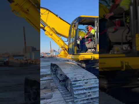
This is truly "Machine Control Made Easy"! This Komatsu Construction 490LCi is grinding a wall, underwater, in a barge lock. In years past, this work would have required draining the lock. An expensive and time consuming process. With the latest Komatsu Smart Construction tech, a Quantum model and great dealer support this contractor made it look easy. This video is supposed to be boring. The contractor completed this USACE project at a reduced cost and well ahead of river opening in just a few days.
- Drone Data Never Works Alone: Integrating Drone Surveys into Your Existing Workflow
Quantum Land Design was recently featured in Propeller Aero's Thought Leaders Blog series. The blog post expands on Zach's Tech Talk at Conexpo-Conagg 2020. Zach discusses a few things you should think about before you jump into the latest drone tech, how you can use the machine control technology you already own and why you need to examine you current workflow to determine how drone data will work with it. If you would like to dig a little further into drones and drone data, take a look at the Quantum Flight Pack, and feel free to Email or call us at 515-505-3510. For your convenience, we have also placed the text below. Drone Data Never Works Alone: Integrating Drone Surveys into Your Existing Workflow This is an article contribution from Zach Pieper, director of operations at Quantum Land Design. Propeller showcases thought leaders from the construction, aggregates, and mining community through collaborative content creation. We’re asking real people on the worksite to write about real problems they’ve encountered, and to share the practical solutions that have made life easier. Drone data can change your business—or so you’ve been told. In this post, I will share examples of how it did for several contractors, but first, let's take a look at a few questions you should know the answers to before you jump into drone data. What information you expect to derive from your drone flights? Do you just need to measure a few stockpiles? Maybe you need to quantify earth moved for monthly pay applications. What gap in your current processes are you trying to fill? Keep in mind a drone is a versatile tool but may not be the best solution for the problem you are trying to solve. Can you leverage construction technology you already own to get the answers you need? Or can you use it to enhance your drone data? More than likely, if you are looking into drones, GPS machine control is already a big part of your operation. Can you use your base and rover in conjunction with your takeoff software to multiply some of the benefits you expect from drone data? Often, a hybrid technology solution can save you the most time and money. What needs to be done to make sure your new technology will fit into your existing workflow and information streams? Think about how you can get data from your drone to work with your takeoff software, CAD, GIS, and even your project management software. It's usually best to get the most out of the software and hardware you already own, rather than starting over with new tech that comes with its own learning curve. Making sure that your drone data will mesh with your other tools is a very important, and often overlooked, aspect of the technology. Now let's take a look at a few real-world project examples to help you understand how drone data can fill some gaps in your current processes. 1. Documenting the difference before and after earthwork A small family-owned contractor we work with was in the process of starting earthwork on a new subdivision project. The contractor flew the project before and after earthwork was completed. Here is what the contractor learned from just two drone flights on this small project: The total volume of cut and fill earthwork on the site. Excess dirt moved for a change order to upgrade the home lots to allow walkout basements. The volume of excess cut dirt left over on the property for future use or sale. The orthophoto and topo provided much of the information required by the city's as-built requirements. A pre-construction topo for the next phase of the subdivision. Finally, the volume of woodchips generated from site clearing operations. Remember, all of the information above was derived from two drone flights. The drone data was easily loaded into the contractor’s takeoff software and compared to their takeoff and machine control model. 2. Faster, safer stockpile measurements Demolition is an application that is less often mentioned when it comes to drone data. Surprisingly, there can be a lot of benefit derived from a single drone flight. One of our contractors was challenged by a developer to provide an estimate to crush all of the broken concrete on an old industrial site. Normally, the contractor would have used his GPS base and rover to survey the piles. In this case, it was not safe or practical to walk dozens of piles. A drone flight was the only option. Once the site was flown, the photos were processed and a 3D surface of the existing site was generated. The contractor was able to use the 3D surface in his takeoff software to determine the quantity of broken concrete to be recycled. They also presented the developer with a preliminary earthwork estimate for the future development. 3. Hyper-accurate measurement when it matters This road improvement project was almost all fill, requiring a significant amount of earthwork. The original topo was based off of years-old LIDAR data. As the contractor was paid by the cubic yard, it was important to have an accurate topo of both the road and the borrow pit. They used their GPS system to measure ground control before flying the road project and the new borrow pit. Once the drone data was processed into a bare earth surface, they were able to derive several pieces of important information. First, the drone flight was compared to the machine control model to determine how many yards needed to be moved and where material needed to be placed to build the road. Second, the borrow area was evaluated to ensure it could provide enough fill. Third, the contractor used these flights in conjunction with future drone flights to measure production. By accurately measuring production they were able to fine tune their bidding and earthmoving processes. As you can tell from the examples above, the key to getting the most out of your drone data is making sure it will work with other information you use to manage your projects. For civil construction contractors, this probably means that the drone data will need to mesh with your takeoff software and machine control models. (Don’t forget to take a deeper look at the construction technology you already own, too. More than likely, it may be able to supplement or even improve the data derived from your drone flights.) Just remember, before you bring a drone into your operation be sure to understand what information you are trying to obtain and how you will get it to work within your existing workflow. You never work alone your drone data shouldn’t either.