


Get Your 3D Grading Under Control: 4 Site Control Principles Every GPS Contractor Needs to Know
Poor site control is the number one problem we see from contractors running GPS machine control. Not bad models or broken equipment. Site control, the first step on every single project. We've seen it cost contractors two weeks of production, turn a correct machine control model on a balanced site into a mysterious site export, and force concrete footings to be redone because the control was rotated 2.8 degrees. Every one of those situations was avoidable.

Zach Pieper


Bart Booth - Quantum's Earthwork Takeoff Pro
Quantum Land Design is excited to introduce Bart Booth, our new Manager of Earthwork Takeoffs. With 20+ years of heavy civil experience and deep AgTek expertise, Bart delivers accurate volumetric calculations you can confidently bid from. We handle commercial, highway, residential, and data center projects with a 3-business day turnaround; including rock excavation, drone data integration, and GPS machine control alignment.

Quantum Land Design


Unlocking Precision and Efficiency in Concrete Paving: 3D Machine Control Models for Curb and Gutter Machines
A 3D curb and gutter model is a digital version of the curb layout shown in construction plans. It guides slipform machines using GPS/laser or robotic total stations, eliminating the need for stringline. The model includes alignments, elevations, profiles, and transitions—helping crews place curbs accurately on the first pass.
Zach Pieper


Why Subgrade Machine Control Models May Not Be the Best Choice for Your Project
Most contractors default to subgrade models without thinking twice. After building 20,000+ GPS models, our team has learned that's usually the wrong call. Subgrade offsets create plan mismatches, slow revision turnaround, and add cost without much upside. Finish grade matches what's on the plans and keeps your crew and PM on the same page. Here's when subgrade actually makes sense.
Zach Pieper


GPS Model Layer and Surface Naming Standards
Quantum Land Design's naming standards simplify GPS machine control, reduce errors, and ensure seamless communication for construction teams
Quantum Land Design


Quantum Flight Pack - DJI Mavic 3E Training Hub
If you're running a DJI Mavic 3E on a construction site, this is where to start. These training videos cover flight planning, RTK setup, camera settings, and calibration — everything you need to get clean topo data that works with your GPS machine control system.
Zach Pieper

Quantum Flight Pack - Phantom 4 Pro and Mavic 2 Pro Training
DJI Phantom 4 Pro and Mavic 2 Pro Topographic Flight Training Videos
Quantum Land Design

DJI Mavic 3E Flight Planning - Quantum Flight Pack
Learn how to plan a topographic mapping mission for a construction site in DJI's Pilot 2 software.
Quantum Land Design


Quantum’s Zach Pieper Talks Drone Data in Construction on Equipment World’s "The Dirt"
Discover how drone data and machine control can boost site accuracy, cut costs, and improve project efficiency. Watch and learn.
Quantum Land Design
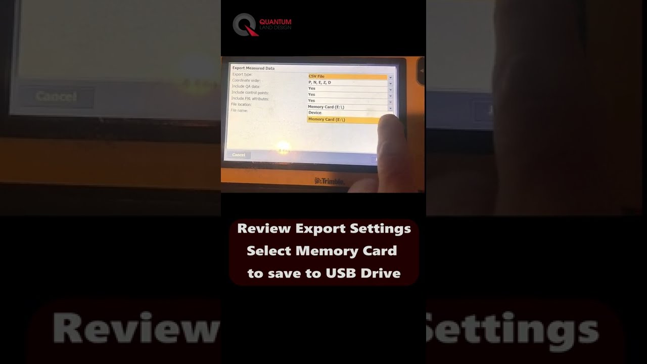
Trimble SCS900 Topo Point Export Made Easy
Learn to export topo points from Trimble SCS900 easily. Watch our video to simplify ground control for drone flights and as-built data
Zach Pieper


