


Ground Control - Principle 2
Surrounding your site with ground control is the step that does most of the heavy lifting. Four to six GCPs placed near the outer boundary will box in your drone data and lock it to your machine control model. Here's how to lay them out for any site shape, road, or levee.

Zach Pieper


Ground Control - Principle 1
Where you place your ground control points matters as much as how you measure them. Overhead obstructions, grade changes, and bad surface choices can knock a GCP out of your data entirely. Here's what to look for before you set a target.
Zach Pieper


Intro to Ground Control for Drone Mapping
Ground control points are what tie your drone data to the real world. Skip them and your survey will be off by feet, maybe dozens of feet vertically. This post breaks down the five principles every contractor should know before putting a drone in the air on a construction site.
Zach Pieper
ConExpo Tech Talks
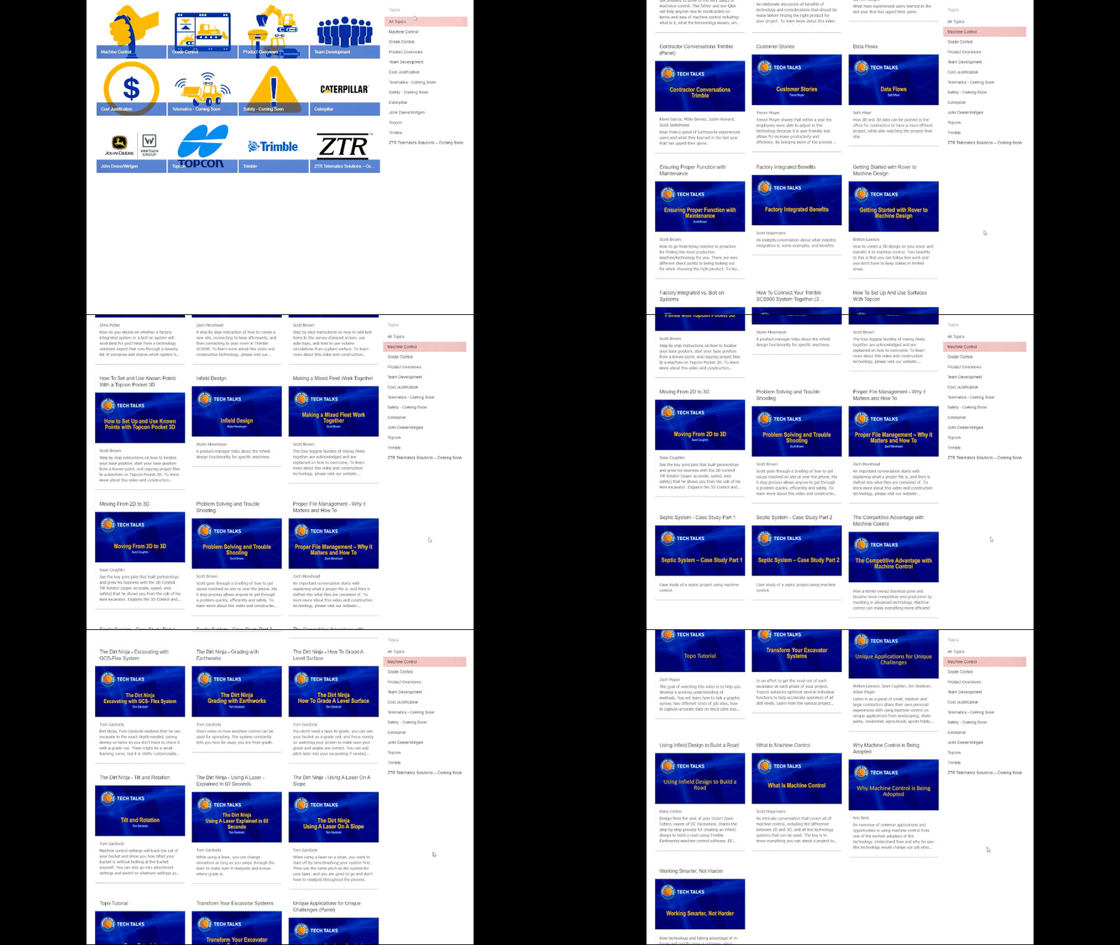
The AEM has put together a great resource for new and experienced gps machine control users a like. They have gathered everything from in-t

Quantum Land Design
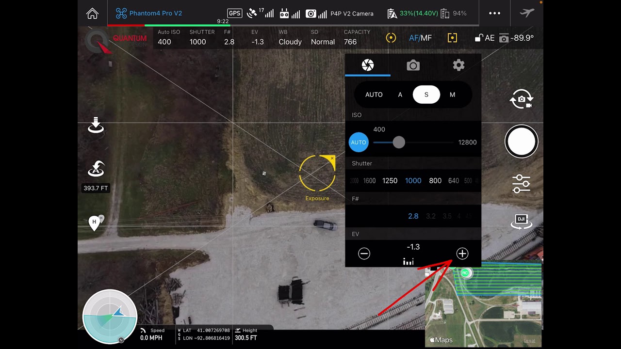
Low Light Camera Settings
Your Quantum Flight Pack is a great tool, but like any tool, you need to know the right way to use it. Getting the camera settings right...
Zach Pieper

Drone Topo GCP Location
Watch and learn the thought process that went into placing this Ground Control Point.
Zach Pieper


Drone Data Never Works Alone: Integrating Drone Surveys into Your Existing Workflow
Quantum Land Design was recently featured in Propeller Aero's Thought Leaders Blog series. The blog post expands on Zach's Tech Tal
Quantum Land Design
DJI Drone Camera Settings for Mapping and Survey
Quality pictures are required to get the best from your drone data. Here is a quick video showing you how to set up the camera on your DJI
Zach Pieper


Measure This! Podcast
Gavin Schrock and Zach discuss how drone data and machine control are implemented by real world clients. There are quite a few field proven
Quantum Land Design


Drone Surveying in Construction: Simple, Effective, and Cost-Efficient
Drones simplify construction surveying with just a GPS base/rover and a drone. Affordable, reliable data without the complexity.
Zach Pieper


